| From Makarora |
|
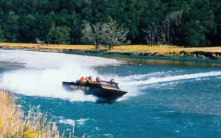
Up the river (jet-boat is faster) to the Kerin Forks, then up an
enchanting valley up to Wilkin Top Forks.
|
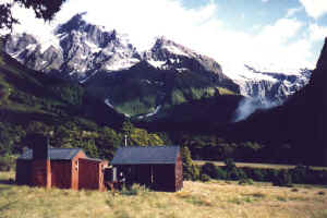
Top Forks Hut
Great place for a side trip to the North Branch and for the splendid
views of Mt. Pollux. |
|
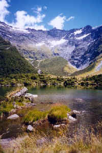
Lake Diana
|
Lake Lucidus
Less than 2 hours walk from the hut. |
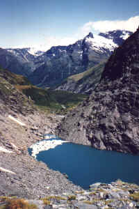
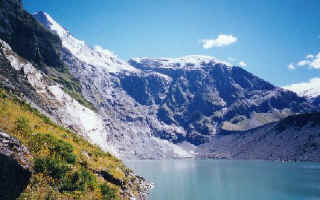
Lake Castallia
Lake Castallia is further on a rough track but is very spectacular. |
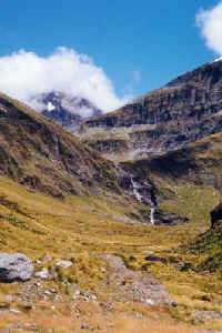
Waterfall Face
Route to the Matukituki over Rabbit Pass, very slippery,
when wet. |
|
A nice short trip from Makarora road:
BREWSTER HUT *** Could be
a day trip but that would mean missing the sunset on Mt. Brewster, a night
in the tiny but comfortable dog kernel and a walk to the top of Mt.
Armstrong from where the view of Mt. Brewster and glacier is memorable. It
is worthwhile carrying an overnight pack uphill for 3 hours, to enjoy the
views and the accommodation.
|
| Mont
Aspiring National Park |